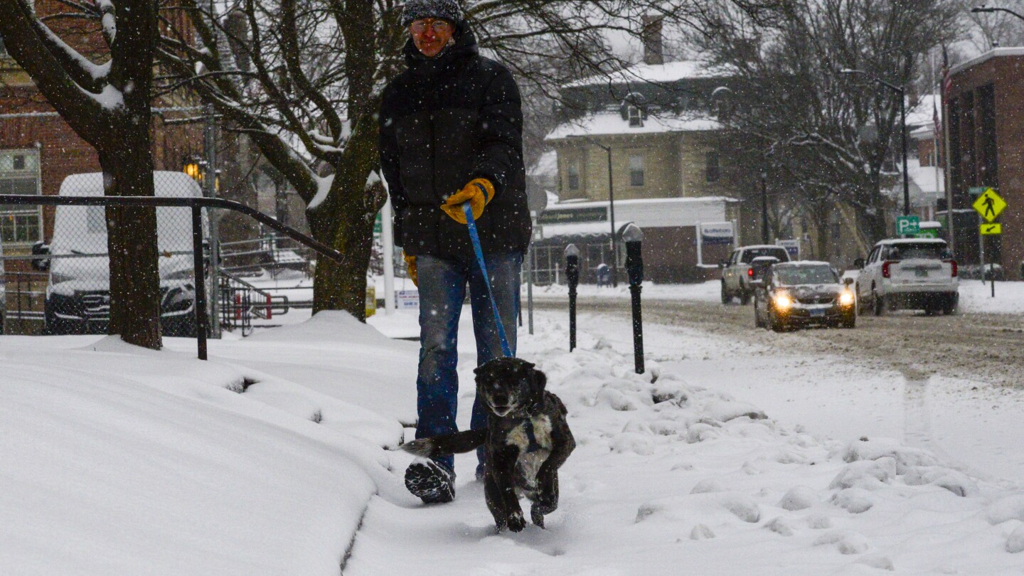
BOSTON (AP) — Hardy souls across New England were spending their Sunday shoveling out after a major storm dumped more than two feet of snow in some areas, causing multiple road accidents, downing power lines and leaving hundreds of thousands across the Northeast without electricity.
Road conditions were dangerous Saturday night for crews seeking to restore power, according to Central Maine Power, the state’s largest utility, which said the company’s focus overnight was responding to emergency calls and making downed power lines safe.
As of daylight Sunday, crews began assessing and clearing damage to begin widespread power restoration efforts. The company said it anticipates a multi-day effort in areas hardest hit by the storm.
“Damage to trees, poles, and wires was significant overnight on Saturday, and our assessors are taking stock of the damage today so we can begin restoring power to our customers as quickly and as safely as possible,” said Jon Breed, from Central Maine Power.
Police across the Northeast reported hundreds of traffic accidents as cars spun out and drivers grappled with icy road conditions.
As the storm was winding down, about 200,000 customers were without power in Maine and another 80,000 or so without power in New Hampshire.
Breed said ahead of the storm, the company pre-staged 150 crews across their service area and another 200 crews were arriving Sunday.
Versant, Maine’s second largest utility reported about 15,000 outages Sunday morning, compared to 188,000 reported by Central Maine.
Zack Taylor, a meteorologist for the National Weather Service, said heavy snowfall from the storm stretched across the region, including upstate and northern New York through Vermont, New Hampshire, and most of Maine.
Many areas saw totals of 8 to 12 inches of snow, but there was a localized area that saw over two feet.
Some of the highest totals exceeded 30 inches in south central Vermont.
“So overall, it was a pretty significant winter storm and for some areas that was some of the most snow they’ve seen all winter with a single storm,” Taylor said.
Fans of cold weather — including skiers — reveled in the snow.
Kevin Bell, vice president of marketing for Loon Mountain in New Hampshire’s White Mountains said the more snow New England gets, the better it is for ski reports.
“It sets us up for a really good spring,” Bell said Saturday.
Major cities from Washington D.C. and Baltimore, to Philadelphia, New York and Boston saw heavy rain and flooding, he said.
In New York, more that 90,000 customers were without power Sunday morning. Areas north of New York City were among the hardest hit, according to online maps from National Grid and PowerOutage.us, a power outage tracking website.
The combination of sleet, freezing rain, and heavy wet snow that took down trees and power lines was also blamed for hundreds of delayed and canceled flights at area airports.
In New York City, a flood watch and wind advisory were in place until 2 a.m. Sunday, and flooding impacted subway service. Rainwater also closed part of the Cross Island Parkway in Queens as police warned motorists about standing water on roadways throughout the city.
In Lodi, New Jersey, flooding from the Saddle River inundated nearby roads.
Taylor said another significant winter storm is evolving in the West and will continue through Monday across much of the Rockies, Plains and in the upper Midwest.
“We’re looking at a pretty strong area of low pressure that’ll develop across Kansas tonight and then quickly lift up toward the upper Midwest by late Monday into early Tuesday,” he said.
That system is expected to bring heavy snowfall across portions of Wisconsin, Minnesota, much of the Dakotas and even down into Nebraska and western Kansas with the potential of 8 to 12 inches of snow, with higher amounts across the eastern Dakotas and portions of central Minnesota, he added.
A winter weather advisory also was issued through Sunday night for parts of northern Arizona, the Grand Canyon and Flagstaff to the New Mexico border with up to a half foot (15 centimeters) of snow possible at upper elevations and winds gusting to 40 mph (64 kph).
The weather service said snow showers were expected through Sunday night at elevations around 5,000 to 6,000 feet (1.5 to 1.8 kilometers).
Unsettled weather with additional rain and snow showers were forecast for the Flagstaff area Monday and Tuesday with another storm system potentially moving into northern Arizona next weekend.
___
Associated Press writers Phil Marcelo in East Meadow, New York, Julie Walker in New York City and Walter Berry in Phoenix contributed to this report.

