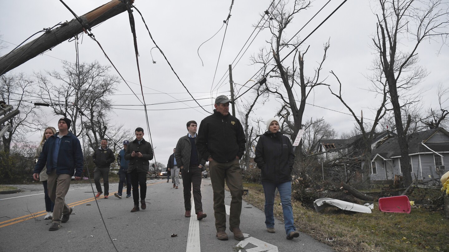
A combination of heavy rain, snow, and wind brought threats of flooding and power outages to the Northeast on Monday, part of the same storm system that killed six people in Tennessee, where tornadoes toppled houses and tens of thousands of people lost power in the wintry weather.
The National Weather Service issued winter storm warnings through the evening as snow fell across Vermont and northern New York, where up to 10 inches of snow could accumulate. The weather service said that snowfall rates of an inch an hour were possible. Many schools were closed in Vermont.
A mix of rain and snow was falling in New Hampshire and some roads had minor flooding in Maine, and gusty winds were expected in New England Monday afternoon.
Heavy rain and strong winds left thousands of Connecticut homes without power Monday morning, and some roads were closed because of downed trees and poles. With parts of the state receiving more than 5 inches of rain Sunday and Monday, the Connecticut state Division of Emergency Management and Homeland Security said river and stream flooding will be a concern for the next few days.
Between 1.5 to 3 inches of rain fell in the New York City area overnight, but the storm was moving fast and a flood watch and wind advisory were lifted Monday morning.
The Washington, D.C., area also saw rain and mild temperatures turn into some slushy snow and near-freezing conditions Sunday night.
The situation in parts of Tennessee and Kentucky was more dire: Emergency workers and community members were dealing with the aftermath of severe weekend storms and tornadoes that sent dozens of people to hospitals while damaging buildings, turning over vehicles and knocking out power. In all, 11 Tennessee counties were affected by Saturday’s tornadoes and severe weather. Weather service teams were out Monday assessing damage.
The tornado that hit Clarksville, Tennessee, on Saturday, killing three people and injuring 62, was an EF3, with peak winds of 150 mph (241 kph), the weather service office in Nashville announced. It was on the ground for more than an hour, traveling 43 miles (69 kilometers) across Montgomery County, Tennessee, and Todd and Logan counties in Kentucky. At its widest point the tornado’s path was 600 yards (549 meters).
Another tornado that struck the Madison neighborhood just north of Nashville and also raked Hendersvonville and Gallatin was an estimated EF2, with winds of 125 mph (201 kph), the weather service said. Authorities said it tossed one mobile home onto another, killing three people inside the two homes.
“It’s nothing out of the ordinary for us to have tornadoes this time of year,” meteorologist Scott Unger in Nashua told The Associated Press on Monday. “The environment was just right. We had the warm, moist air coming up from the Gulf. We had the cold air coming down from the north. The two things combine and create the right conditions for us to have tornadoes.”
In the Bowling Green, Kentucky, area, an EF1 tornado traveled more than 2 miles with peak winds of 90 mph (145 kph). And in west Tennessee, a survey team determined that an EF1 tornado with peak winds of 110 mph (177 kph) tracked nearly 25 miles (40 kilometers) over a half hour across Gibson and Weakley counties in west Tennessee with a maximum width of 600 yards (549 meters), but there were no fatalities and only three minor injuries.
“It’s really painful to watch, especially at Christmas season,” Tennessee Gov. Bill Lee toward reporters after touring the damage Sunday. “But again, there’s a great wave of hope when you watch Tennesseans come alongside.”
The weather service office in Raleigh, North Carolina, confirmed that an EF1 tornado with maximum winds of 110 mph (177 kph) was on the ground for about 4 minutes on Sunday afternoon as it traveled about 1.5 mile (2.4 kilometers) in the Garner area south of Raleigh. No injuries or deaths were reported and the damage was mostly snapped and uprooted trees, leaving some structures damaged. Central North Carolina received much-needed rain on Sunday, with some spots getting 3 inches (7.6 centimeters) or more, the weather service said in a social media post.

